
Okinawa Japan Map: Navigate the Islands Like a Local
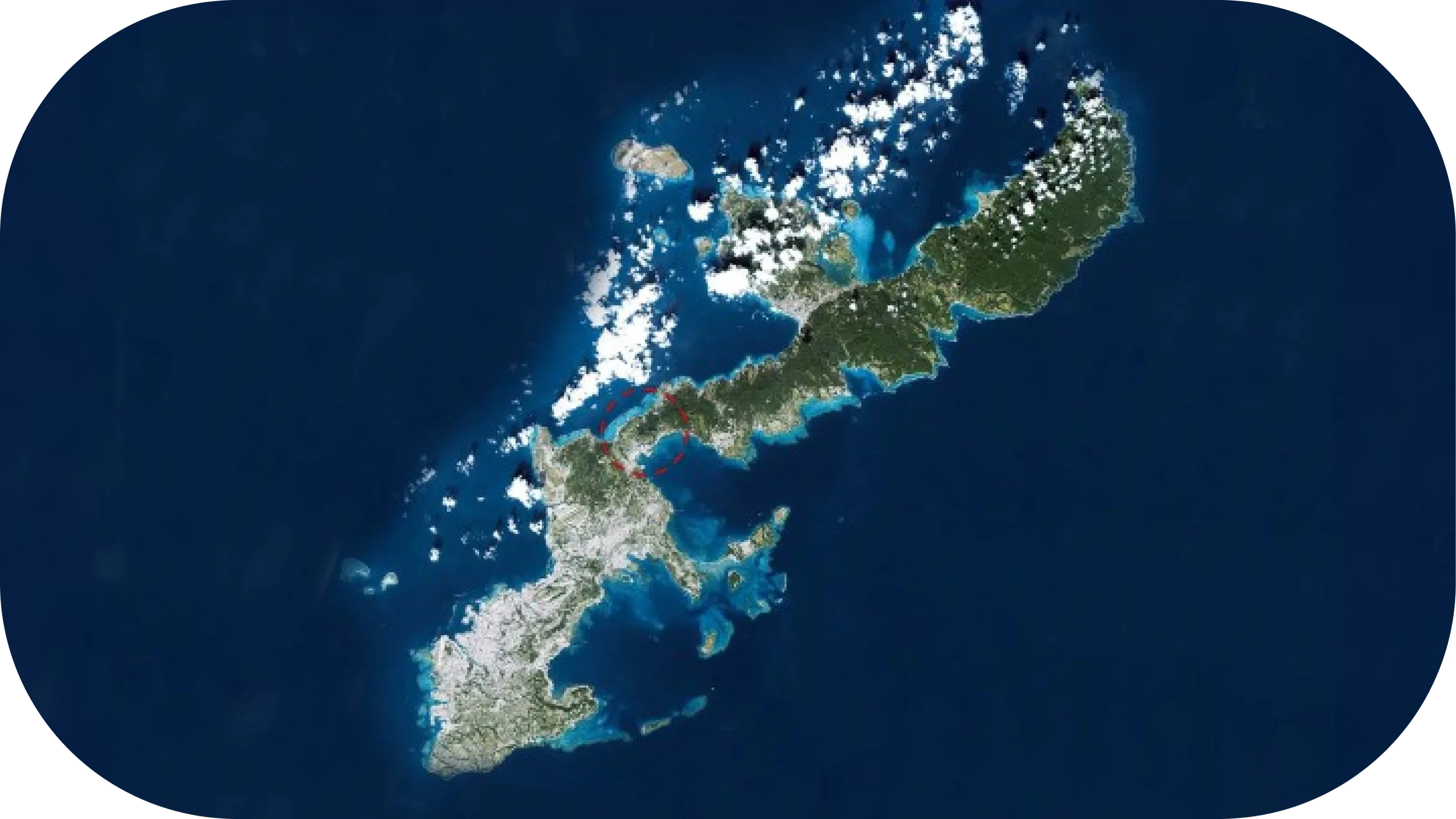
Okinawa Prefecture spans a chain of subtropical islands stretching over 1,000 km (620 mi). The main island (Okinawa Hontō) lies far south of Japan’s main islands, and clusters like the Kerama, Miyako, and Yaeyama Islands radiate out across the East China Sea.
Okinawa is a Japanese archipelago of 160+ islands (around 50 inhabited) in the East China Sea. It’s traditionally grouped into four areas for travelers: Okinawa Main Island, the nearby Kerama Islands and Kume Island, the Miyako Islands, and the Yaeyama Islands further southwest.
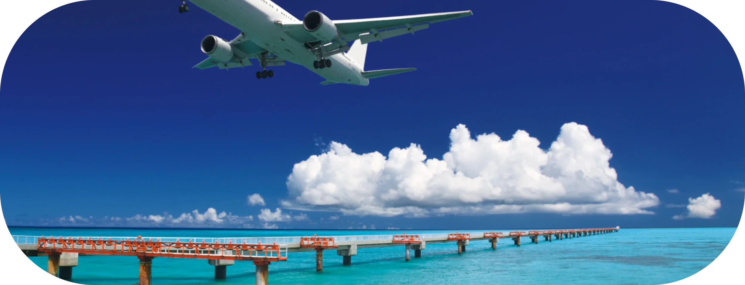
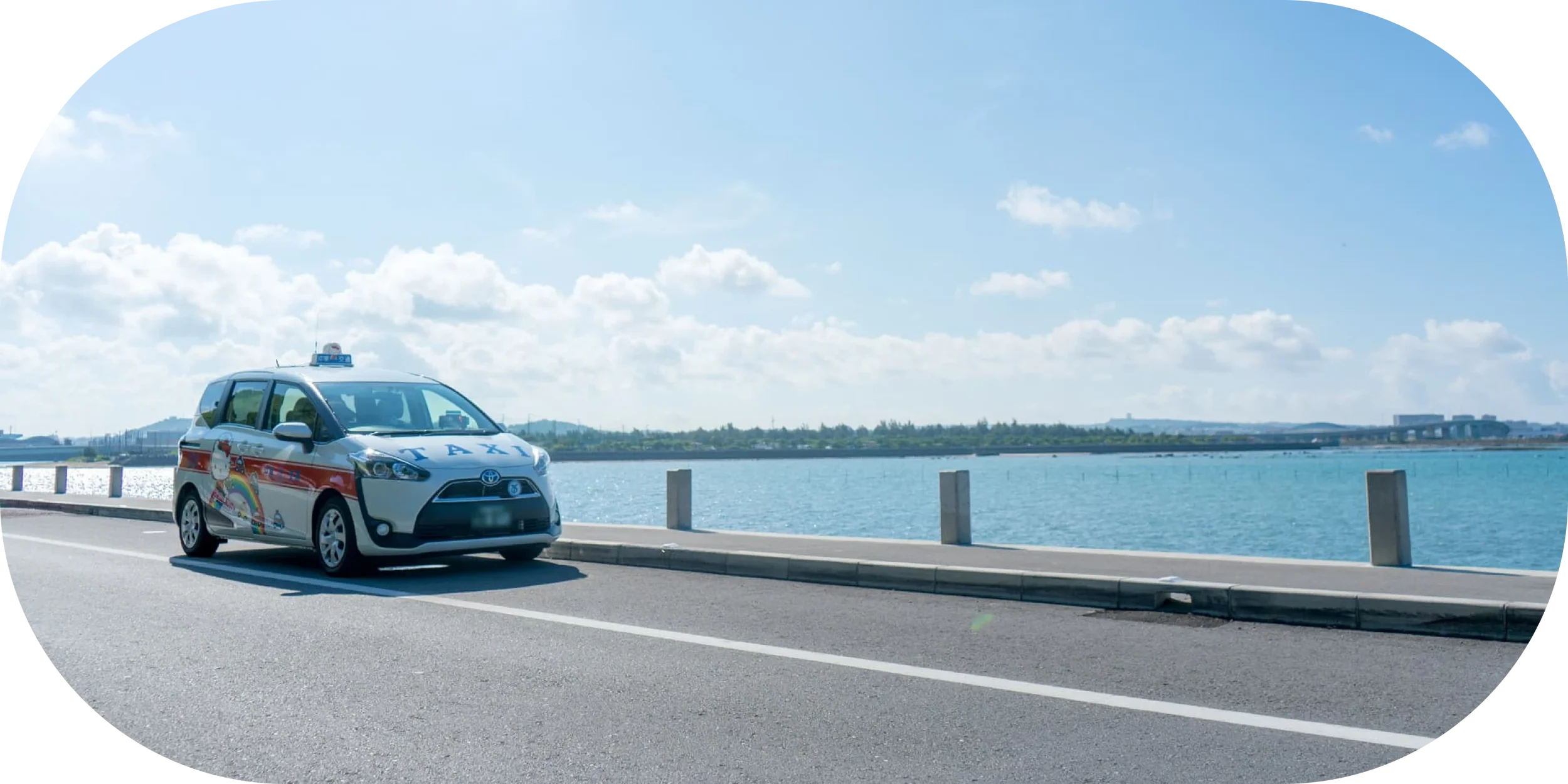
Most visitors arrive via Naha, the capital city on Okinawa’s Main Island (which hosts the prefecture’s largest airport and port). Other hubs include Miyako Airport and Ishigaki Airport in the outlying island groups.
Knowing the geography upfront will help you plan where to base yourself, how to move between islands, and what routes or ferries to expect. Below, we’ll dive into interactive maps and local tips for each region, plus practical advice on transport, tides, seasons, and more to navigate Okinawa like a pro.
Understand the Layout (Island Groups Overview)
Okinawa Prefecture is spread across hundreds of kilometers of ocean, so orienting yourself is step one. Here’s the mental map:
Okinawa Main Island (Hontō) – Largest island and political/cultural center. Roughly 120 km long, with Naha City at the southern end. Naha is the main gateway (home to Naha Airport and the busy Tomari ferry terminal). The island’s northern half is rural (Yanbaru forest region), while central/southern areas are more urbanized. Think: castles, museums, nightlife, plus a springboard to nearby isles.
Kerama Islands – Small cluster ~30–40 km west of Naha. Main ones: Tokashiki, Zamami, Aka, Geruma. Famous for “Kerama Blue” waters and coral reefs. No airports – ferry from Naha (40–70 minutes).
Kume Island (Kumejima) – Standalone island 90 km west of Main Island. Quieter, known for sandbars like Hatenohama Beach. Reachable by 3–4 hr ferry from Naha (daily) or a 35-minute flight. Rural and resort mix.
Miyako Islands – Flat coral islands ~300 km southwest of Okinawa. Miyako-jima is main island, bridged to Ikema, Kurima, Irabu, Shimoji. Beaches are top-tier. No ferries from Okinawa – fly (~50 min from Naha). All isles accessible by road via bridges.
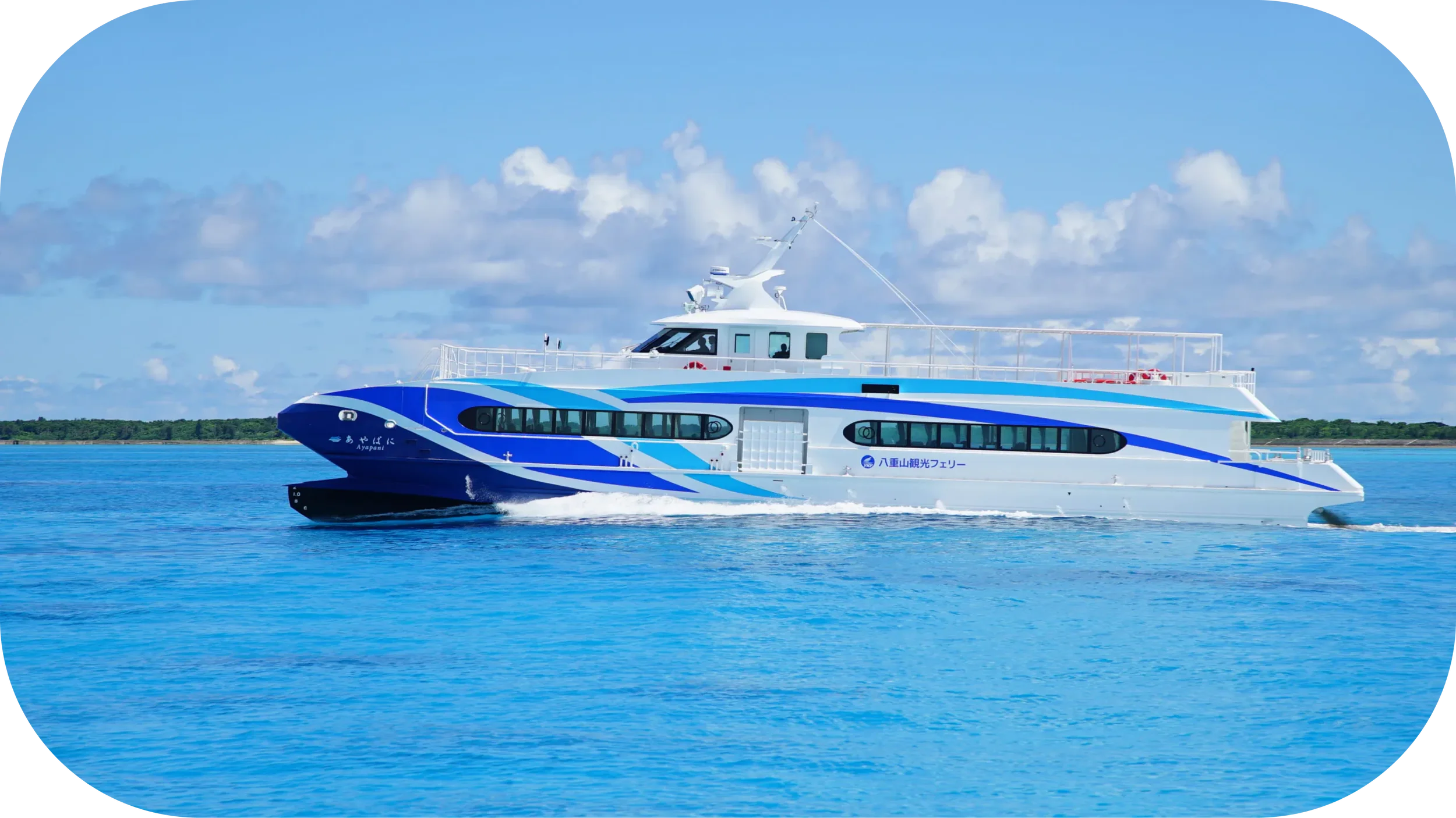
Yaeyama Islands – Southernmost cluster, 400+ km from Main Island. Ishigaki is hub (airport, largest town). From Ishigaki, ferries reach Taketomi (15 min), Iriomote (40–50 min), Kohama, Kuroshima, Hateruma, etc. Remote Yonaguni is reachable by 30 min flight or long ferry. Jungle treks, traditional villages, and diving highlights.
Main Island Maps: Naha & South / Central West / Yanbaru (North)
Okinawa’s Main Island is like a mini country, with distinct sub-regions. Driving from one end to the other takes 2–3 hours, so break it into chunks:
Naha & the South (Urban Hub and Gateway)
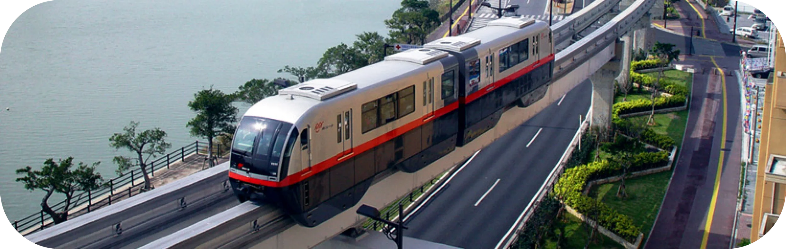
- Naha City – Capital and biggest city. Naha Airport 4 km from downtown. Served by Yui Rail monorail (Airport–Shuri, 37 min end-to-end). Port: Tomari Wharf for Kerama ferries.
- Traffic can be heavy; some bus-only lanes during peak hours.
- South Okinawa has historical sites (Peace Memorial Park, Okinawa World, Sefa-utaki shrine). Yui Rail ends at Shuri; beyond that needs car/bus/tour.
Central West Coast (Resort Belt and Easy Access)
- Chatan, Yomitan, Onna Village – String of beach resorts, American Village entertainment area, sunset views.
- Well-connected via Route 58 and Okinawa Expressway. Easy access to both Naha and the north.
- Public transport limited off Route 58; car/taxi often needed.
Northern Okinawa (Yanbaru Forest and Quiet Coastlines)
- Yanbaru – Sparsely populated, forested, small villages.
- Nago is main town, end of expressway.
- Highlights: Churaumi Aquarium, Kouri Island, east coast coves.
- Limited gas/food options in far north; patchy signal.
- Scenic roads: Route 58 (west coast), Route 70/331 (mountains/jungle).
Kerama Islands Map (Zamami, Tokashiki, Aka, Geruma)
Ferries from Naha Tomari Port
- High-speed ferry: ~35–50 min (Tokashiki/Zamami)
- Regular ferry: ~1 hr 30 min
Best for: Snorkeling, day trips, quiet overnight stays
Transport: No rental cars on most islands; rent bicycles/scooters locally. Tokashiki allows some cars (limited).
Beach access: Furuzamami (Zamami), Aharen (Tokashiki) are most popular.
Overnight stays mean quieter beaches in the morning/evening.
Kume Island Map
Getting there:
- Ferry from Naha: ~3.5–4 hr (once or twice daily)
- Flight from Naha: 35 min
Highlights:
- Hatenohama sandbar (boat trip)
- Eef Beach, Tatami Ishi rock formations
- Small, rural, relaxed pace; rental cars available
Best for: Those wanting a calm, scenic island that still has facilities.
Miyako Islands Map (Miyako, Ikema, Irabu, Kurima, Shimoji)
Access: Flights only from Naha, Tokyo, Osaka, other hubs.
Bridged islets:
- Miyako ↔ Ikema
- Miyako ↔ Irabu (via Irabu Bridge) ↔ Shimoji
- Miyako ↔ Kurima
Orientation: Beaches are affected by wind/tide; east coast often windier, west coast calmer.
Best for: Beach hopping, cycling, photography.
Transport: Car rental essential.
Airport tip: Shimojishima Airport mostly serves inter-island or seasonal routes.
Yaeyama Islands Map (Ishigaki, Iriomote, Taketomi, Hateruma, Yonaguni)
- Ishigaki – Main hub: airport + ferry terminal.
- Taketomi – 15 min ferry, bicycle-friendly, preserved Ryukyu village.
- Iriomote – Jungle, rivers, mangroves; half the island only accessible by boat.
- Hateruma – Japan’s southernmost inhabited island; ferry ~1 hr 10 min from Ishigaki.
- Yonaguni – Japan’s westernmost island; 30 min flight from Ishigaki, known for underwater “ruins” and wild horses.
- Transport: Ferries frequent but weather-dependent; flights for Yonaguni.
Getting Around: What the Maps Mean for You
Car vs Public Transport Decision Tree:
- If staying in Naha/South only → Yui Rail + buses OK.
- If exploring beyond Shuri → Car rental highly recommended.
- Island hops → Ferries for Kerama/Kume/Yaeyama, flights for Miyako/Yaeyama from Okinawa Main.
- Typhoon season (Jun–Oct) can cancel ferries.
Offline Navigation:
- Download Google Maps offline before arrival.
- Backup with Maps.me or Guru Maps.
- GPX/KML for hiking or coastal drives.
Where to Base by Trip Length (Map-Linked Shortlists)
3 Days: Central West (Onna/Chatan) + Naha day(s) 5 Days: Split North (Yanbaru) + Naha/Kerama 7+ Days: Add Miyako or Yaeyama Families: Areas with easy beaches, shops, medical access (Onna, Miyako) Adventure: Yanbaru, Iriomote, remote isles
Seasonal/Tide/Typhoon Navigation
- Tides: Reef walks/snorkeling best at mid–high tide. Low tide may block boat access.
- Rainy season: May–June; plan indoor options.
- Typhoon season: Late summer–autumn; allow buffer days for ferry/flight changes.
Local Etiquette & Access
- Respect no-entry zones in nature reserves.
- Use designated parking; don’t block locals’ driveways.
- Avoid stepping on coral; follow marine park rules.
Resources
- Printable PDF maps by region
- GPX/KML scenic drive + ferry port points
- “Offline Maps in 60 Seconds” guide
Mini Itineraries (Map Layers Toggle)
- Half-day Naha City loop
- 1-day Beach + Café drive (Central)
- 2-day Yanbaru adventure
- 3-island Kerama sampler
FAQs
What is the best base for first-timers? Stay in Central West (Onna/Chatan) for beach access + easy day trips.
Do I need a car on Okinawa Main Island? Yes, unless you stay entirely in Naha/South.
Can I day-trip Kerama Islands from Naha? Yes, but check ferry return times.
Miyako vs Yaeyama for 5–7 days? Miyako = beaches; Yaeyama = more varied landscapes + culture.
How do tides affect snorkeling? Low tide may expose reefs, making entry difficult.
How do I download maps for offline use? In Google Maps → Offline maps → Select area.
What happens to ferries during typhoons? They’re canceled; reschedule or fly if possible.
Is the Yui Rail useful with luggage? Yes within Naha, but not beyond Shuri.